Understanding Dilution of Precision (DOP) and its Operations
In the realm of GPS and Global Navigation Satellite System (GNSS) positioning, Dilution of Precision (DOP) plays a crucial role in ensuring accuracy. DOP is a measure of how the geometric arrangement of satellites affects the precision of a location fix.
DOP is expressed in various categories, including Horizontal Dilution of Precision (HDOP), Vertical Dilution of Precision (VDOP), Position Dilution of Precision (PDOP), and Geometric Dilution of Precision (GDOP), each quantifying a different aspect of positional error.
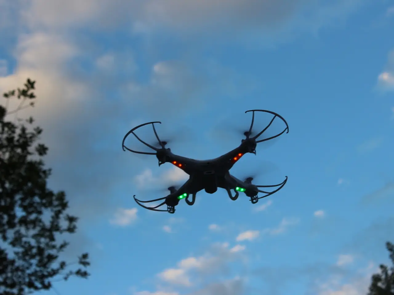
For drones conducting aerial surveys, photogrammetry, or LiDAR mapping, maintaining low DOP values is essential for better georeferencing of collected data. This can be achieved by planning flights during times of optimal satellite geometry using mission planning apps, or supplementing with Real-Time Kinematic (RTK) or Post-Processed Kinematic (PPK) systems for improved accuracy.
In drone operations, low DOP values (1.0-2.0) are ideal for precision mapping, LiDAR scanning, and photogrammetry, while moderate DOP values (2.1-5.0) are sufficient for general navigation and inspections. High DOP values (5.1+) pose a risk for survey-grade operations.
DOP works by evaluating the impact of satellite geometry on the accuracy of a location fix. A receiver calculates its position by triangulating signals from at least four satellites. The relative angles and spacing of these satellites directly influence how precisely the receiver can determine its coordinates.
Lower DOP values indicate stronger, more reliable positioning, while higher DOP values mean reduced accuracy due to poor satellite arrangement. Wide satellite separation improves accuracy, resulting in low DOP values, while clustered or poor geometry reduces accuracy, leading to high DOP values.
Signal strength does not directly affect Dilution of Precision, but weak signals or interference can compound errors. Modern flight planning software often provides DOP forecasts to help pilots select optimal flight windows for precise GNSS measurements, reducing post-processing errors and the need for repeat missions.
Dilution of Precision is critical in any operation relying on GPS or GNSS for location accuracy, including drone flight planning, surveying and mapping, autonomous vehicle navigation, maritime and aviation positioning, and timing synchronization in telecom and power grids.
By understanding Dilution of Precision, drone pilots and surveyors can plan flights for periods of optimal satellite geometry, improving data quality and reducing the need for rework. This is vital for maintaining low DOP and achieving high-precision navigation required in many drone applications such as surveying, mapping, and delivery.
As Dilution of Precision values change throughout the day due to the dynamic nature of satellites, Dilution of Precision forecasts are essential for optimal mission planning. Lower Dilution of Precision values are preferred for precise navigation and survey-grade applications.
- To enhance the georeferencing of data collected by drones during aerial surveys, photogrammetry, or LiDAR mapping, it's crucial to plan flights during times of optimal satellite geometry, which can be achieved by uses of mission planning apps or supplementing with Real-Time Kinematic (RTK) or Post-Processed Kinematic (PPK) systems.
- In the realm of GPS and Global Navigation Satellite System (GNSS) positioning, Dilution of Precision (DOP) is a critical factor, especially in drone applications such as surveying, mapping, and delivery, as it evaluates the impact of satellite geometry on the accuracy of a location fix, with lower DOP values indicating stronger and more reliable positioning.


%20and%20its%20Operations)